Not every walk in France is covered by a TopoGuide or Miam Miam Dodo guidebook. So, how do you calculate distances on a long-distance walk, find the distances between villages and plan an itinerary (for example, on the walk from Martel to Rocamadour ) when there is no guidebook?
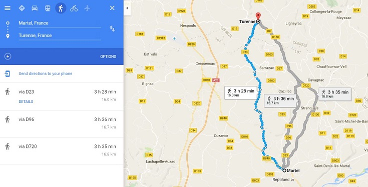
Walking directions on Google maps will give you a rough idea of distances, calculated along the road, and this can sometimes be enough to decide where your overnight stops should be.

Gathering accurate information requires a bit more work but is not impossible—and is much easier from your laptop using two monitors.
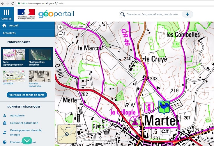
On one monitor, open the géoportail website, find the appropriate IGN map by entering the name of the town you will be starting from and choose the ‘Carte topographic IGN’ version which will show the GR path.

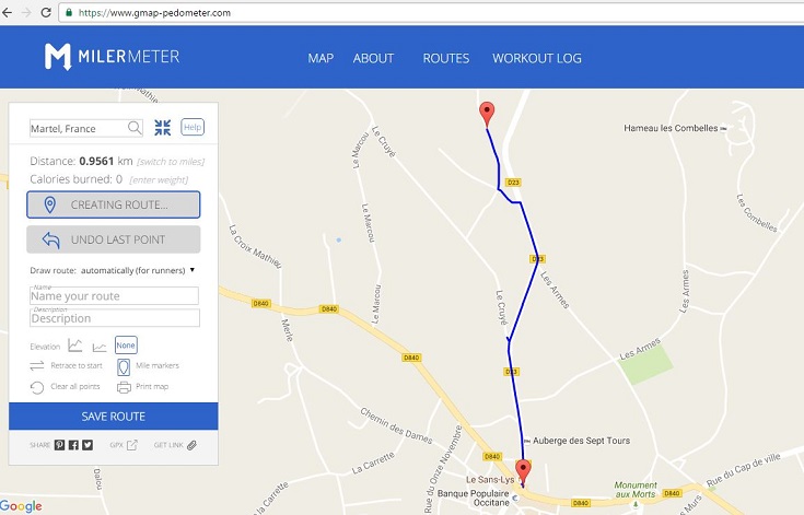
On the other monitor, open the MilerMeter website, enter the starting point of your walk and choose whether to measure your distance in kilometres or miles.

Create a route in MilerMeter that follows the path shown on the IGN map and note the distance each time you reach a village.
(If your brain just glazed over reading that, you know what to do 😉 )
On From planning to walking: the GR 70 Chemin de Stevenson you’ll find information about—
Booking accommodation in French
and many more practical tips for long-distance walking—preparation, packing and avoiding blisters

